01
Speed of relevance
Collection has to meet the commander's clock.
When the decision window is minutes or hours, waiting for separate tasking cycles can make the best data irrelevant.
- Same timestamp
- Faster first cue
- Less operator waiting
Eagle Eye is building a compact orbital system that captures EO, SAR, hyperspectral and RF over the same place at the same time, then turns the collect into a traceable cue before raw data volume becomes the bottleneck.
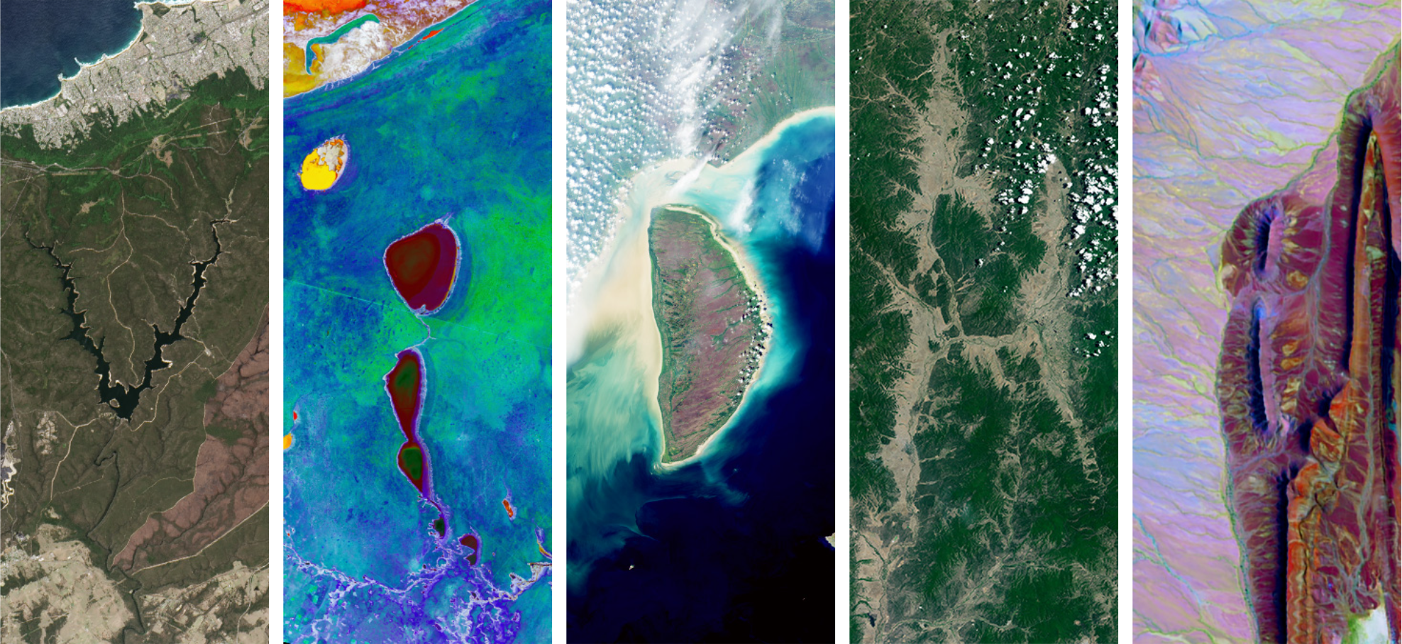
The simulated scene shows what changed, which sensors agree, and what still needs a human analyst.
Analysts can already access many sensors, but cross-provider tip-and-cue is slow, brittle, and hard to trust when decisions are live.
Collection has to meet the commander's clock.
When the decision window is minutes or hours, waiting for separate tasking cycles can make the best data irrelevant.
A cue must be inspectable before it becomes a call.
Defence users still need provenance: where the data came from, how the inference was made, and which modalities corroborated it.
Do not ship the ocean when the user needs the ship.
On-orbit filtering can send the relevant bands, objects, or anomaly cues first, then pull heavier data only when it is worth the bandwidth.
The National Geospatial Intelligence Agency fuses every phenomenology to make a call. We put that fusion on the spacecraft so sovereign customers get multi-INT truth, not four invoices and a latency gap.

A ship appears away from its reported track. RF, SAR, EO and spectral cues arrive together, giving analysts a fast reason to spend scarce high-resolution collection.

Large-area monitoring becomes an object-first workflow: detect what changed, preserve the sensor trail, and downlink the heavier data only when the anomaly is worth it.
For customers balancing owned, allied and commercial assets, a same-time collector can become the neutral cueing layer that tells the rest of the stack where to look next.